New Company “TroutRoutes” Launches Mapping App
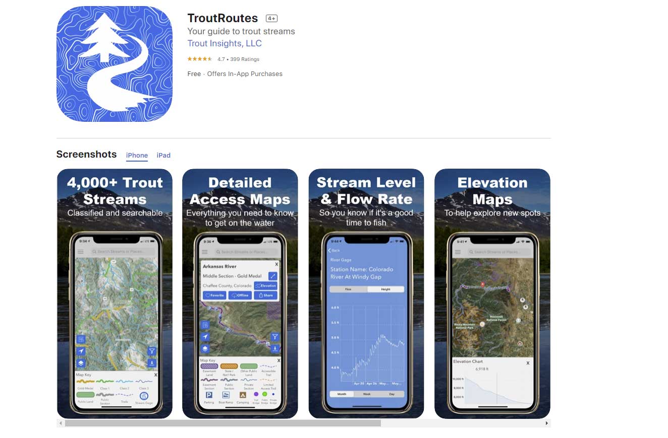 Anyone who enjoys exploring new fishing spots knows that it can be difficult and time-consuming to find and access quality trout streams. A new software company called TroutRoutes is looking to change that. Zach Pope, founder of TroutRoutes, has made it his life’s mission to map out every trout stream in the country, as well as all of the detail needed to explore those streams (think public lands, easements, parking spots, access trails, real-time stream conditions, boat ramps, fly shops, etc.). A former engineering director and avid fly fisherman, Zach quit his day job to build TroutRoutes full time in June 2019.
“We’re pretty obsessed with mapping every last detail,” said Zach. “In Colorado alone, we’ve mapped and rated 2,000+ trout streams, 10,000 miles of access trails, and 3,200 parking spots. It took a really long time, and there is still so much more we have planned. We currently cover seven states, but we’re going to do this for the whole country.”
TroutRoutes also places conservation at the core of their mission. In addition to serving as a board member for the Twin Cities MN chapter of Trout Unlimited, Zach is in early discussions with conservation groups about how to use the app to do things like track and warn about invasive species. “We also want the app to help people explore new spots, thereby removing pressure from overfished stream sections,” said Zach. “We’re constantly building out new geographies and features to make this the ultimate resource for trout anglers.”
TroutRoutes is available on the Apple and Android app stores, and covers CO, NE, ND, SD, WI, MN, and IA. Check out a feature overview video here: TroutRoutes Feature Overview
The Pros and Cons of Swimming With a Hammer for a Head
F3T Ends on April 4


